


FROM BETWEEN MY HORSES EARS
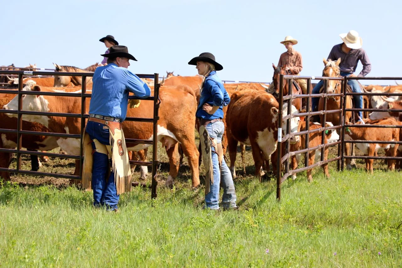
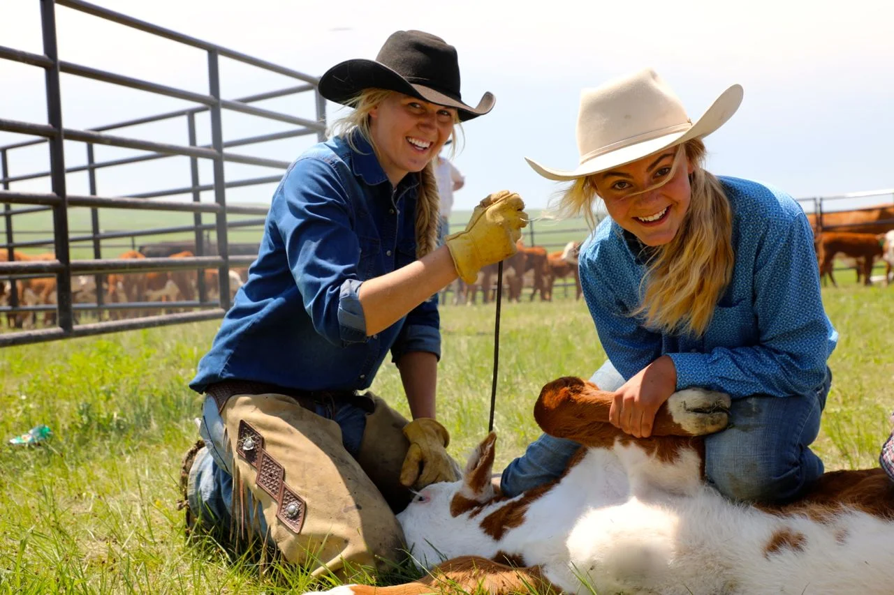
LONETREE RANCH BRANDING 2019 WITH THE REINHOLD FAMILY AND FRIENDS






WALK OF AGES... "WHAT'S IN A NAME?"
As we prepare for camp, we continue to look new items of interest to teach our campers. In this case, the new items are all quite old. Caleb Reinhold brought along the camera to capture some shots to aid us in our study of “What’s in a name?”


A BEAUTIFUL EVENING ON THE LONETREE (PHOTOS BY RACHEL REINHOLD)


PLANTING SPUDS
We took some time while the sun was shining and before the next rain to go and play in the soil. It seems late to be planting potatoes and onions, but the way the weather has been, we have had no choice. We did get some lettuce and spinach planted a couple of weeks ago.


This garden is called “The Patch” and the soil is amazing. Most of the ranch is “gumbo” which is a heavy clay. This location has had tons and tons of organic material and manure added to the sight. Each year, as we clean the corrals, we just lay out another strip about 20 feet wide. We work it in and then plant the following year. The soil is just beautiful. With all the rain we have had, this is the only place that we could work in the soil. The gumbo would have proved impossible.
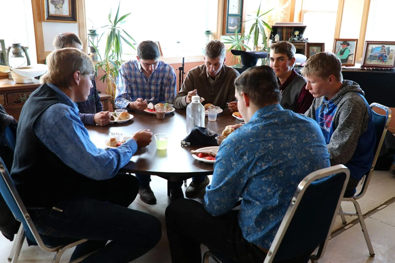
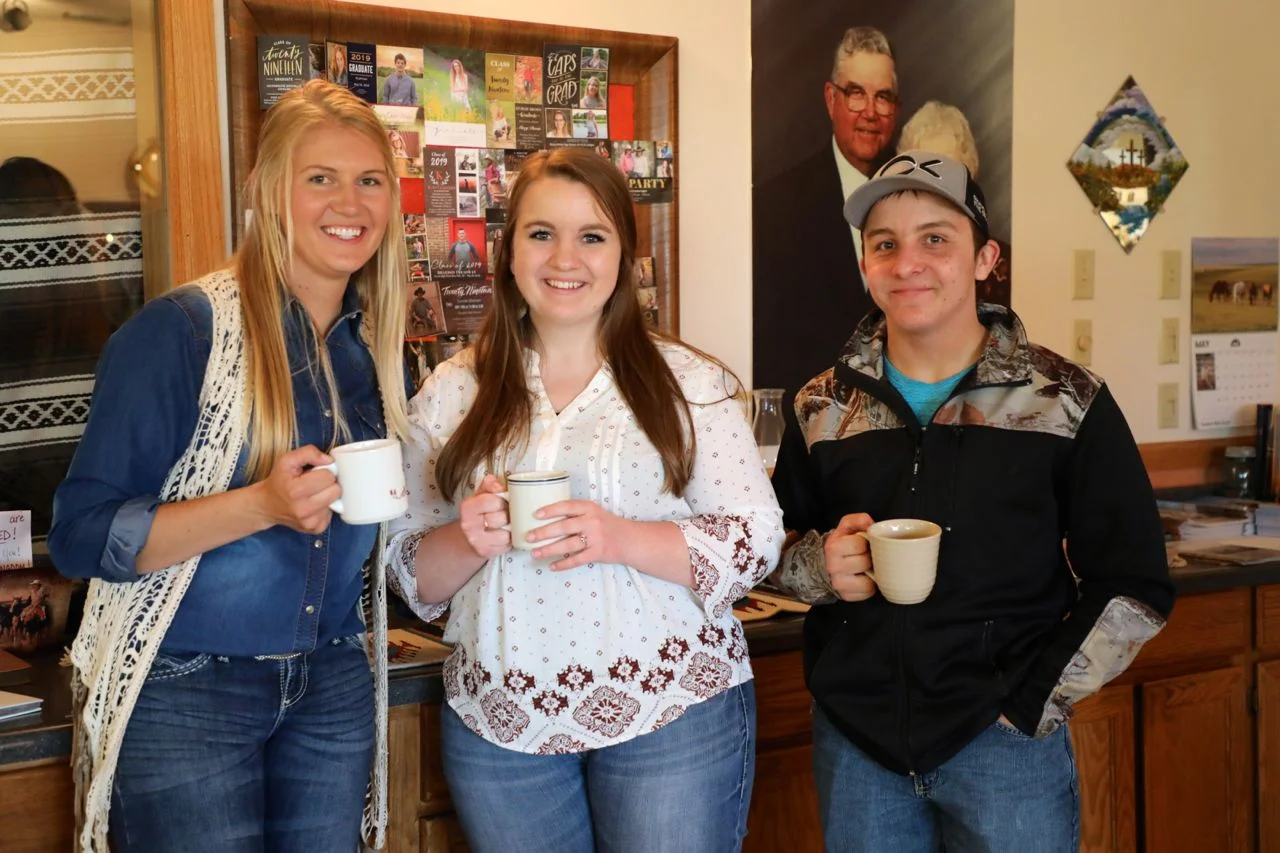
OUR SON, DANNY, CELEBRATES THE COMPLETION OF HIGH SCHOOL
We certainly enjoyed the celebration last evening to honor Danny. The way the weather and roads had looked, we wondered if we would even have a party. We will not know who could not make it, but the folks that did , made for a great time. Danny, on to the next chapter... "And let God write your story."




IT JUST KEEPS RAINING. (PHOTO ESSAY)


We have received over 4 inches of rain in the last couple of days.
Castello Point... A Treasure

NEARLY A TREASURE... AT LEAST A TREASURED LOCATION
We had three surveyors at the Lonetree Ranch yesterday "rediscovering" Castello Point. There may have been that much attention given in 1925 when a bronze disc was set in a concrete base . That was placed there by the US Coast and Geodetic Survey. The original stone is also present and is engraved with the letters USGS. It was one of 18 triangulation points that was used to to map the Black Hills in the late 19th century. Many campers have been to this historic locale and it was quite rewarding to our "grown up" guests to find the markers in such pristine condition. Jerry, LInda and John... It was a pleasure having you and thank you for sharing your insight into Castello Point.
Over East
We have been busy. This is Over East. My grandparents referred to this as the "Dam on the East Range" Dad told about he and his brother fencing this pasture"out". Abandoned homesteads and unclaimed land had been the norm. This pond has been in our plans for a couple of years. It had been washed out for nearly 40 plus years. We repaired it and have since stocked it with fish. We planted around 100 seedling trees around it this spring as well. The soil around it is ranges from shale that grows little or nothing to hardpan to this draw that is filled with beautiful grass and flowers. We 'trimmed things up and moved the sheepwagon over and set up camp. It is located about a half mile from the headquarters. The RBR crew can hardly wait to share it with our young guests this summer. Looks very inviting... "Low population area"

